Topographic Survey
A topographic survey from Raptor Maps provides you with the data you need for site assessment, planning, and design.
- Properly plan for site installations
- Evaluate runoff and terrain
- Calculate volume, elevation, and distance for elements on your site
- Confirm ground measurements
- Address unexpected blockers and provide important details to expedite project finance
- Create a comprehensive record of the state of a site before construction
Deliverables | |
|---|---|
Volume measurement | Orthomosaic (.tif) |
3D mesh bundle | Texture (.jpg) |
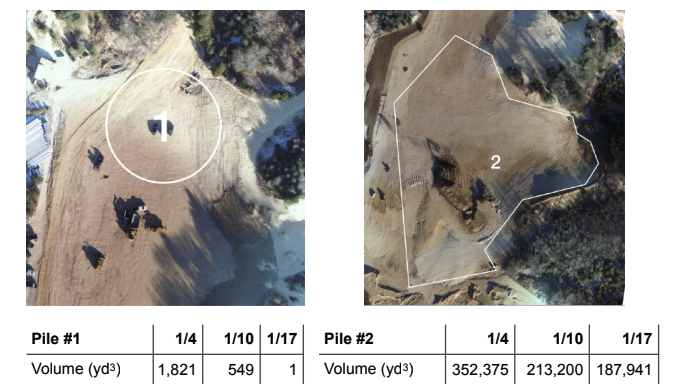
Comprehensive deliverable (option 1) | For smaller sites: PDF with diagrams of exact volume measurements for debris piles and trenches. |
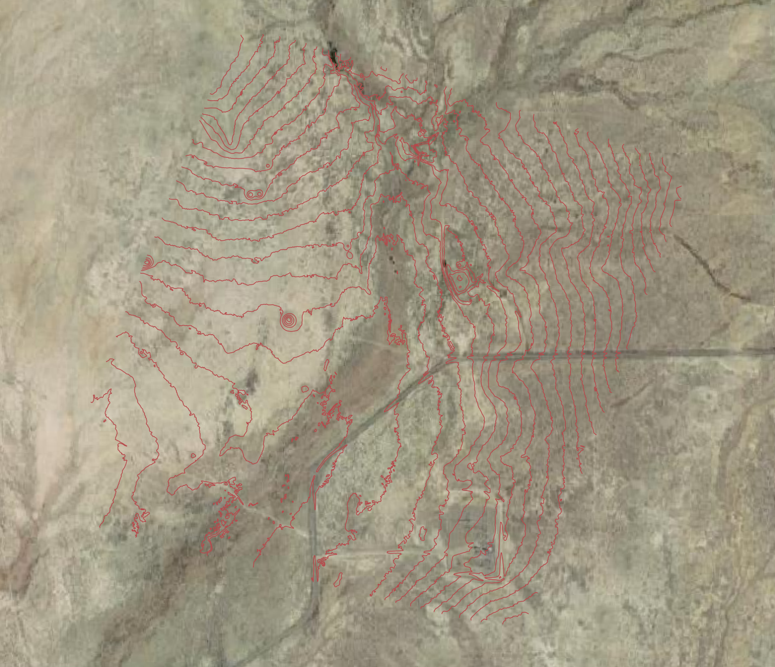
Comprehensive deliverable (option 2) | For larger sites: Contour Map (.dwg / .shp ) |

Standard deliverables: Image sets + volume measurements

Comprehensive deliverable option 2: contour map
Updated 3 months ago
